Table of Contents
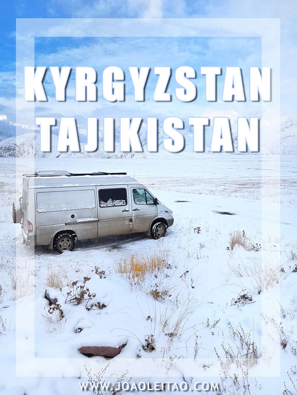
There are those places in the world everyone knows about. And, there are other places that no one has a clue. No Man’s Lands are buffer zones between countries. How about a 24-hour travel guide of what to do at a No Man’s Land in some remote mountains of Central Asia? I will explain…
Holidays in the No Man’s Land
At a certain point in my 1-year camper van journey, the next leg of the trip was to cross from Kyrgyzstan into Tajikistan, through the Pamir Highway – M41 road. I needed to drive from Sary Tash in Kyrgyzstan, to Murghab via Karakul village, already on the Tajik side.
But, altitude was the factor slowing me down.
While in the Pamir Mountains, and because I was traveling with my 2.5-year-old son, altitude sickness was always something to take into account. So, due to excessive altitude, my wife and I decided not to cross into Tajikistan as soon we got rid of Kyrgyzstan border checkpoint formalities.
From the Dor-Doba Kyrgyz checkpoint at 3,450 m we couldn’t just drive 22 km to the Tajik checkpoint at 4,187 meters through the Kyzylart Pass at 4,318 m. We required some time for the boy to adapt before we adventure into the 4200 meters high mountains.
We needed 24 hours…
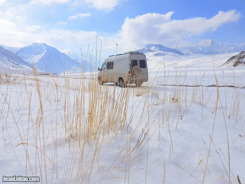
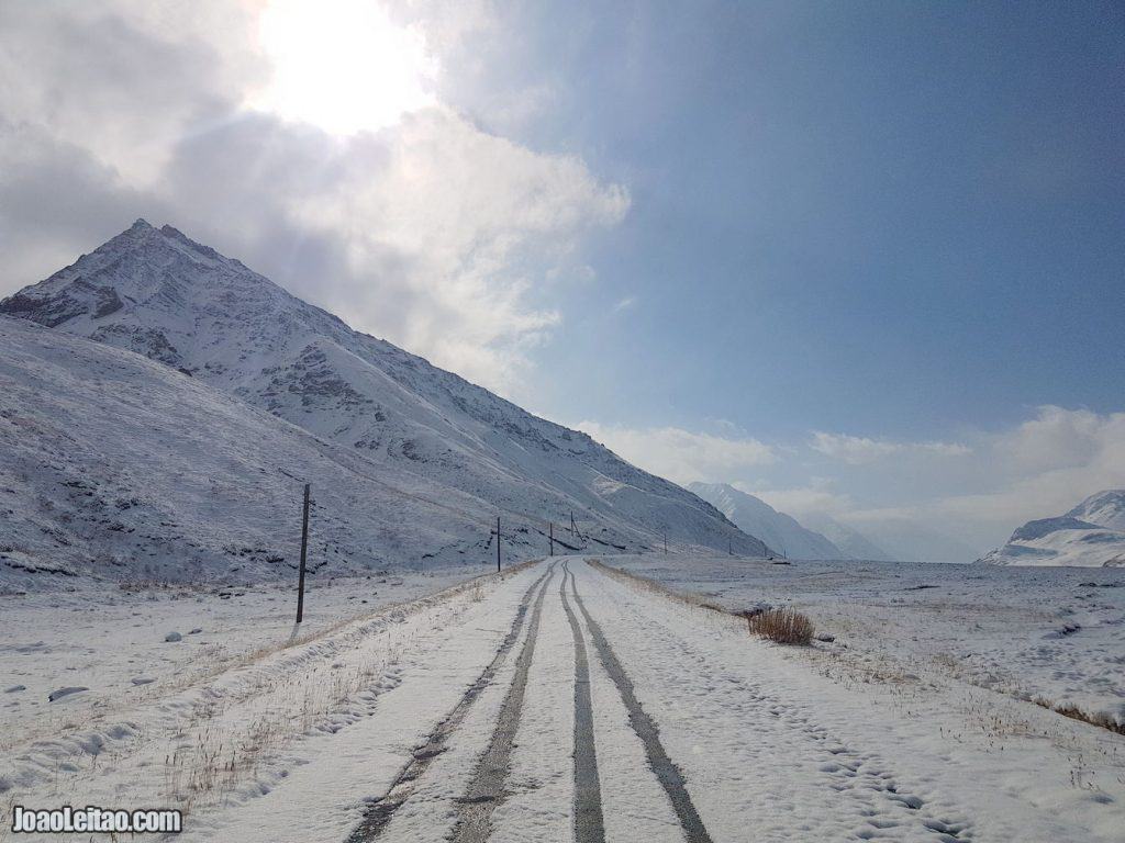
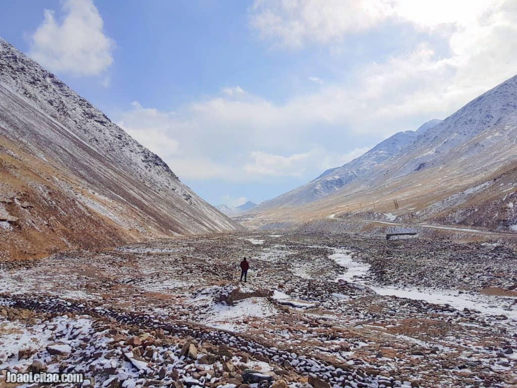
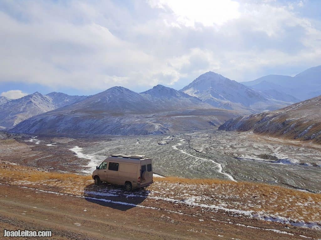
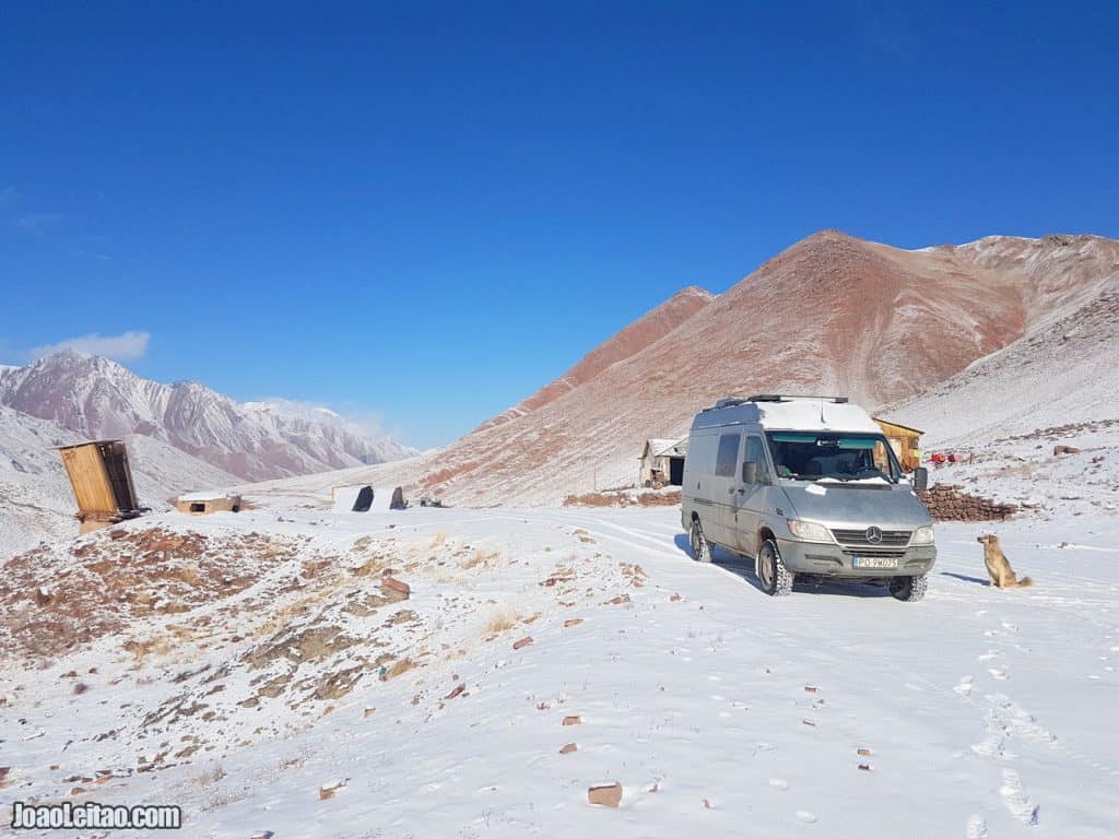
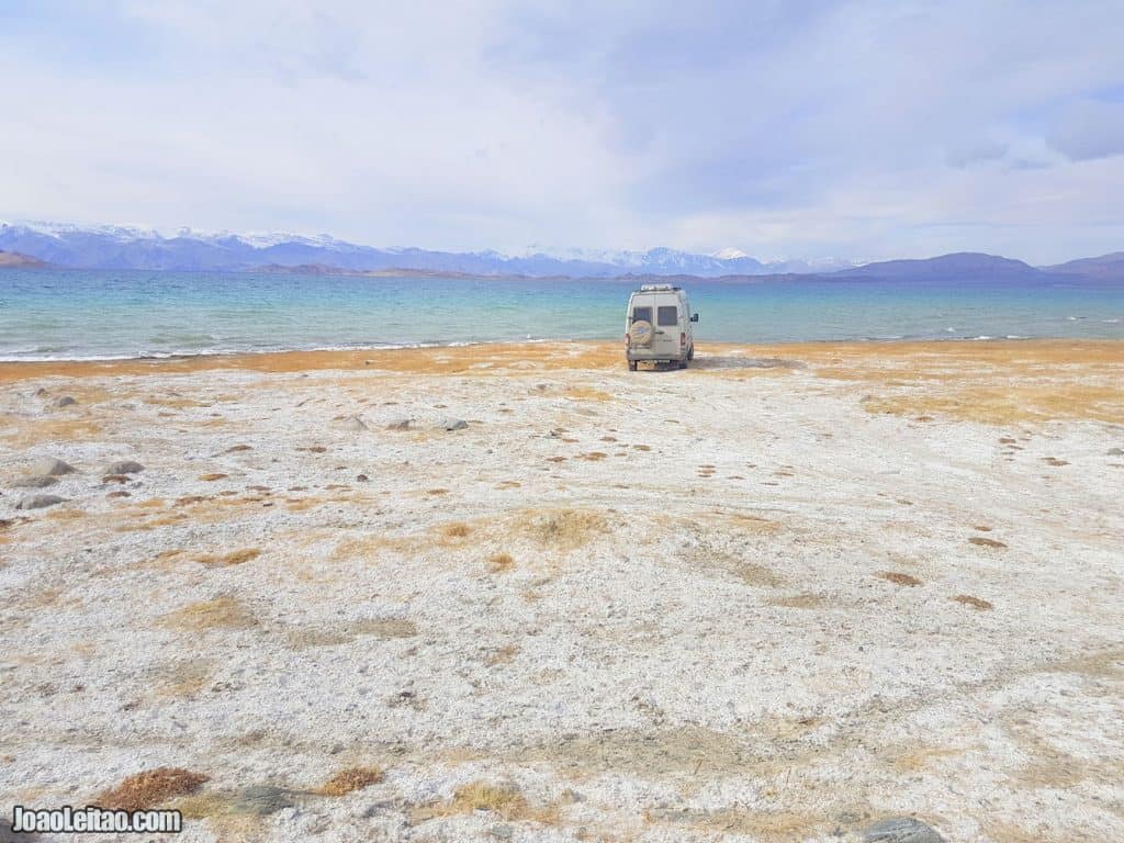
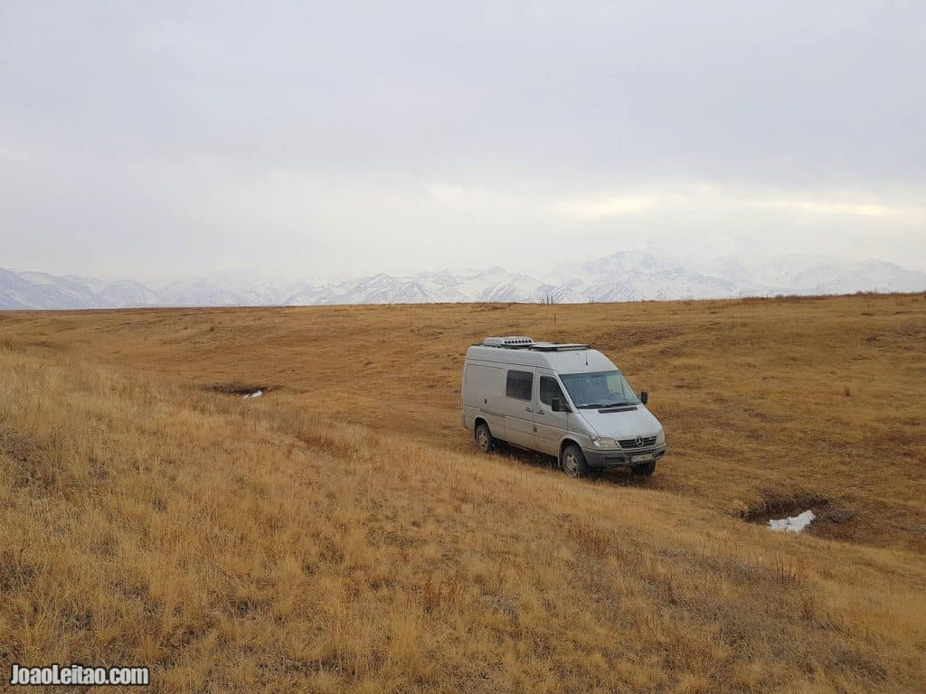
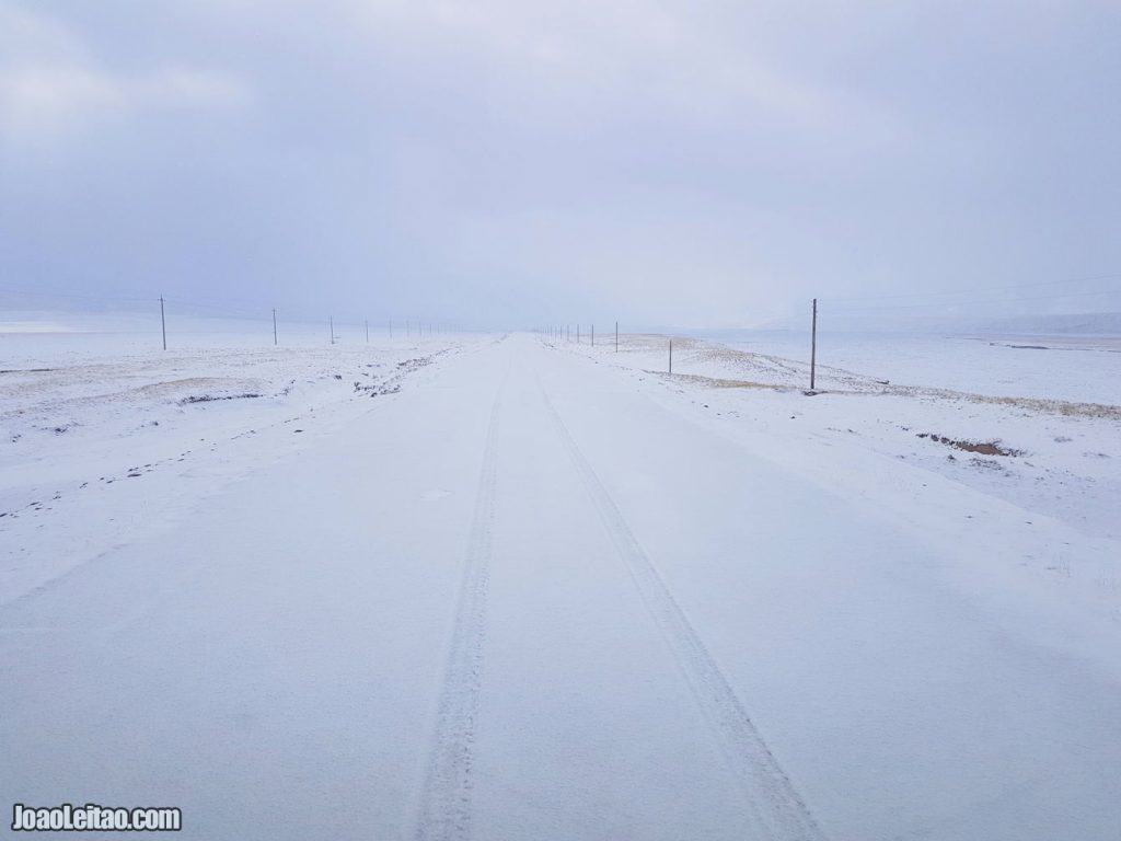
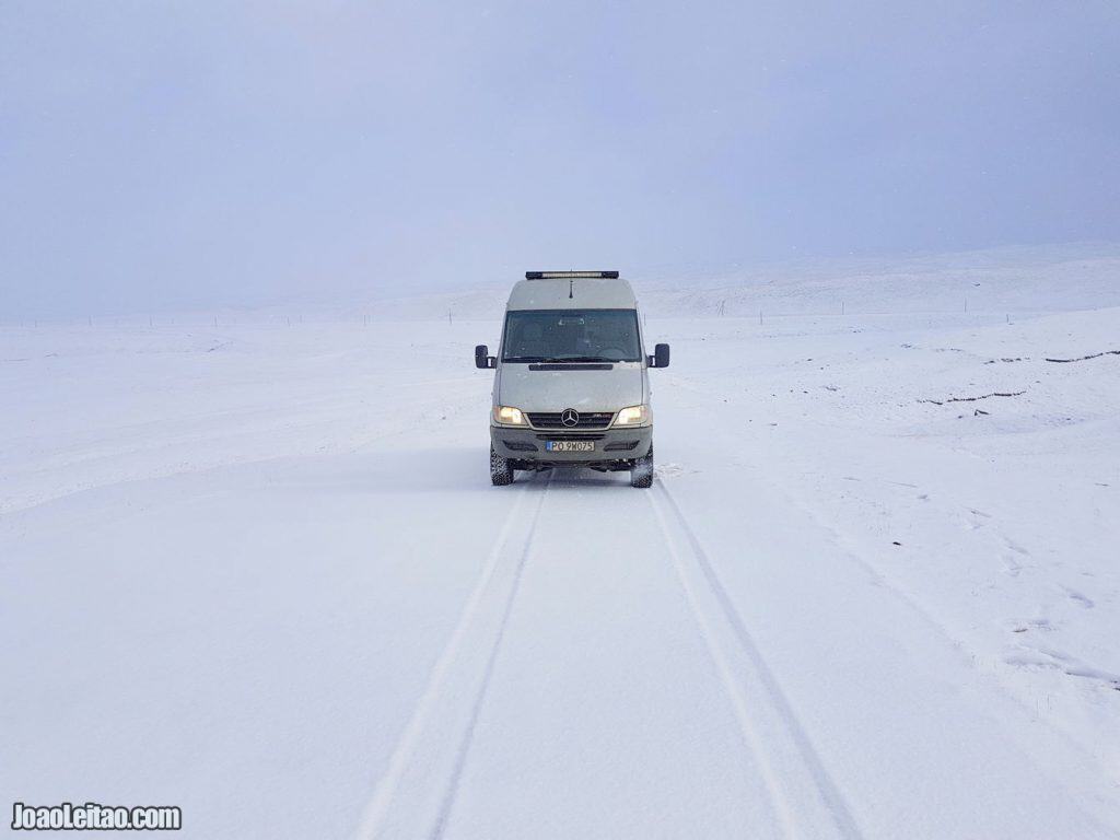
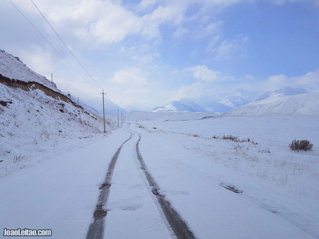
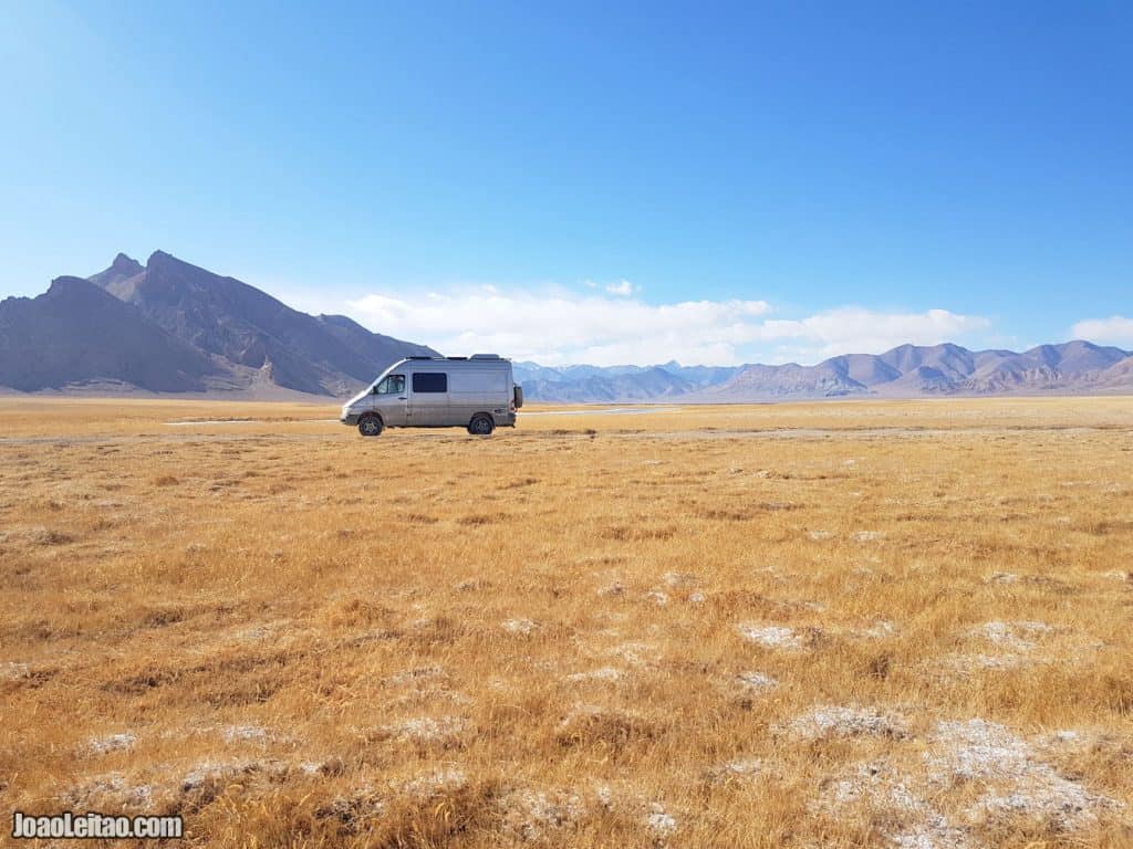
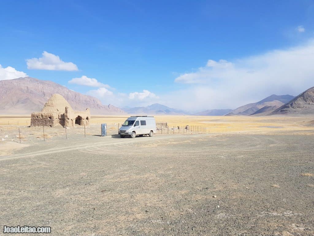
We drove out of Kyrgyzstan border early morning and went inside the no man’s land to explore the area close to the 4000 meters (13,123 feet). Although before sunset we came back to 3600 meters (11,811 feet).
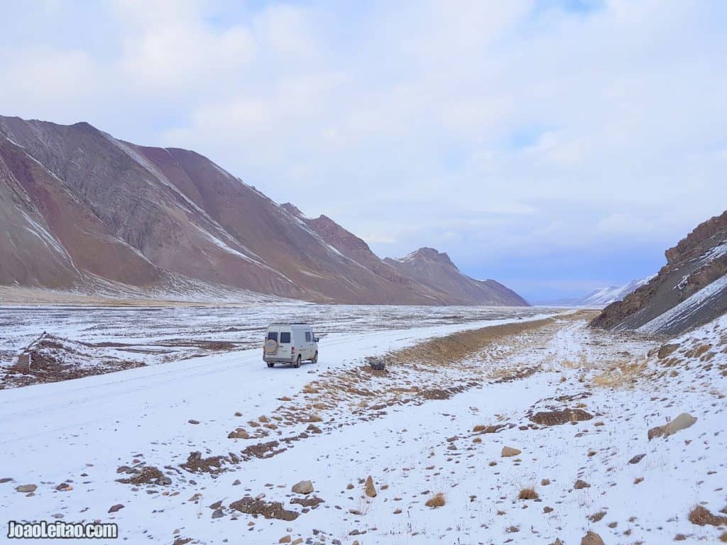
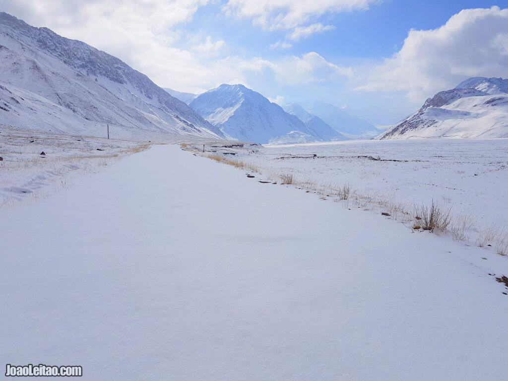
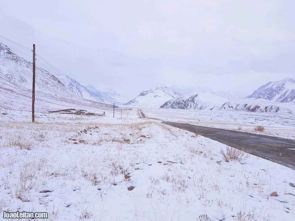
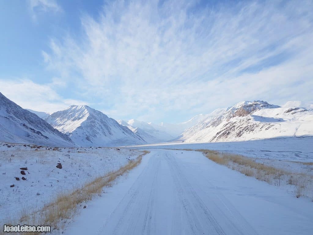
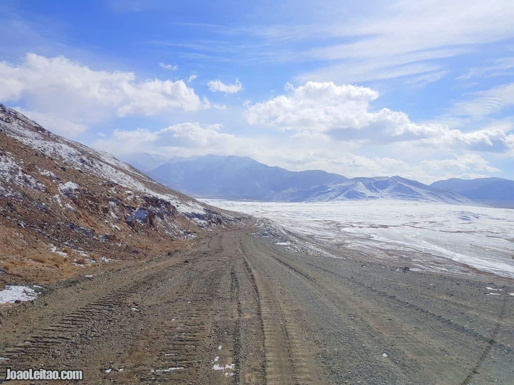
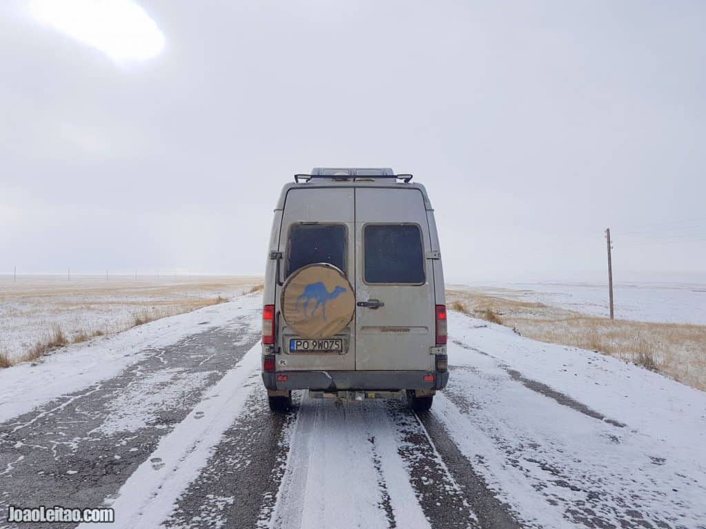
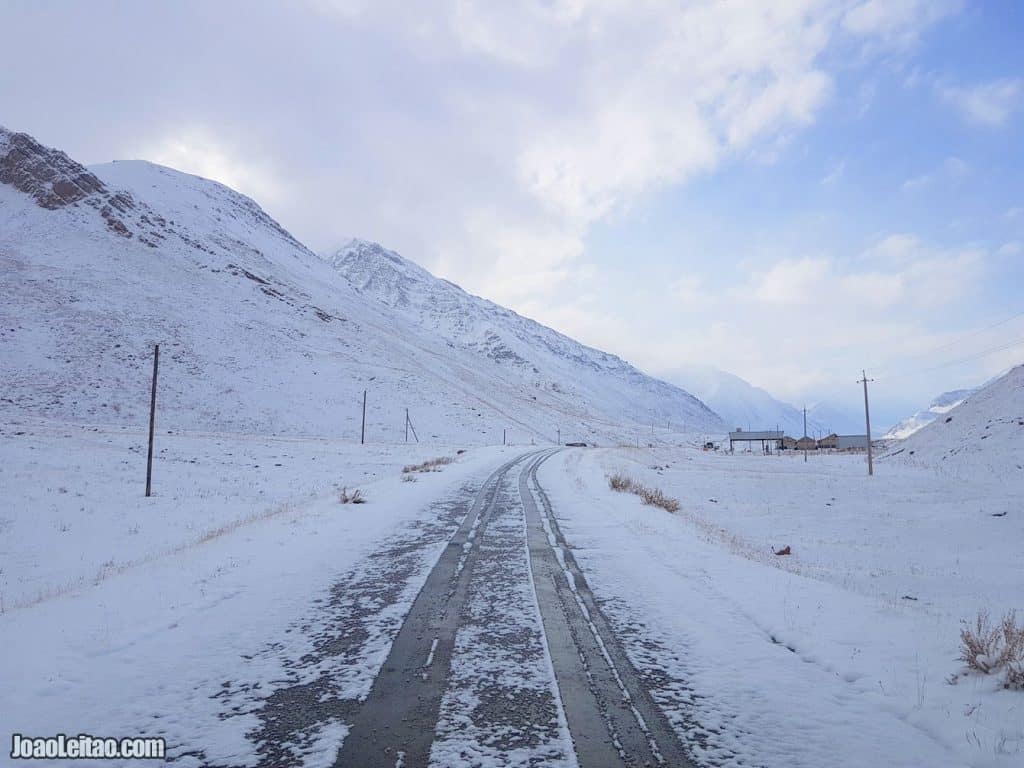
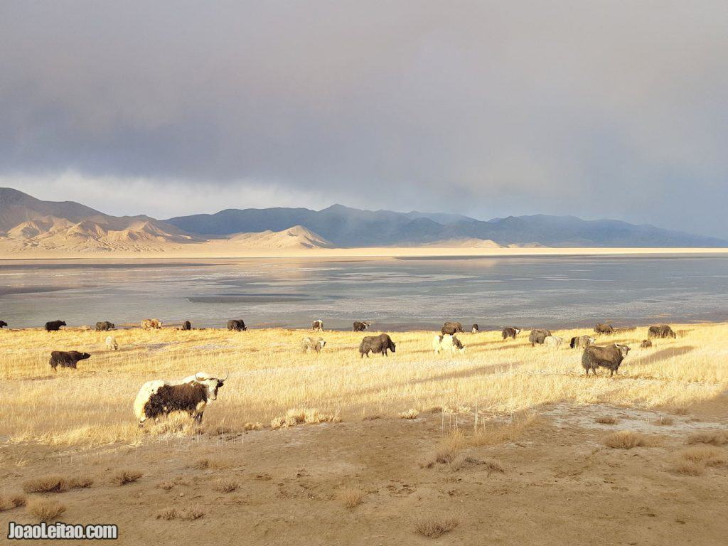
Most of the time I drive slowly because I want to profit from the places I visit. And, in such a beautiful mountain scenario such as the Pamirs, the icy roads and spare time, made me enjoy the occasion and appreciate the fantastic scenery. And there we were, in the middle of nowhere. Literally.
What to do in the No Man’s Land between Kyrgyzstan and Tajikistan:
- Drive slow and enjoy
- Hiking
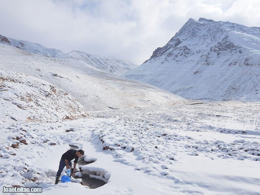
- Fill up water containers with spring water from the mountain
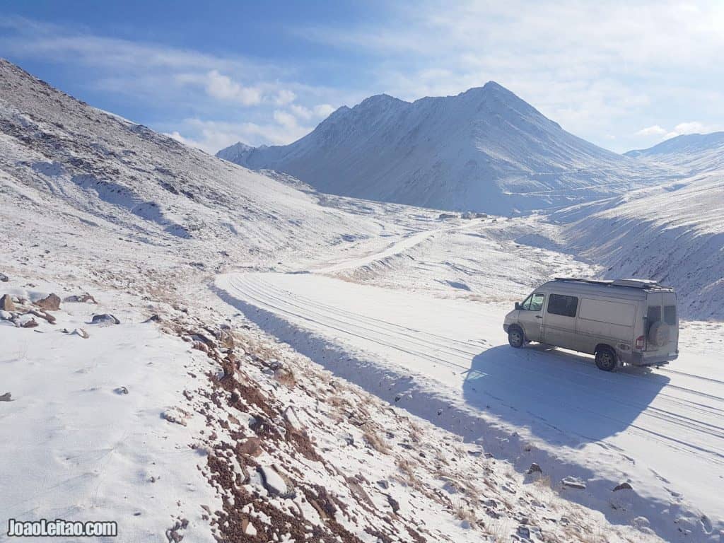
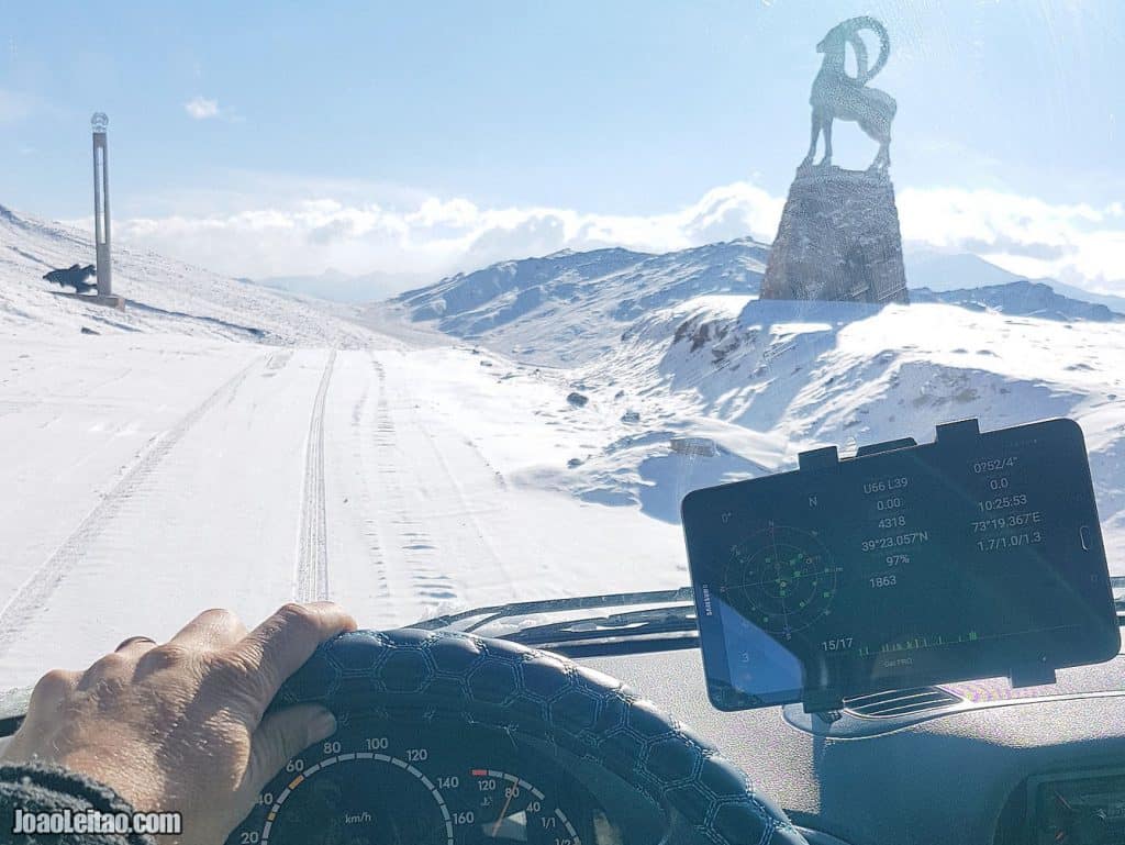
- I drove
- My wife drove
- Even my kid drove
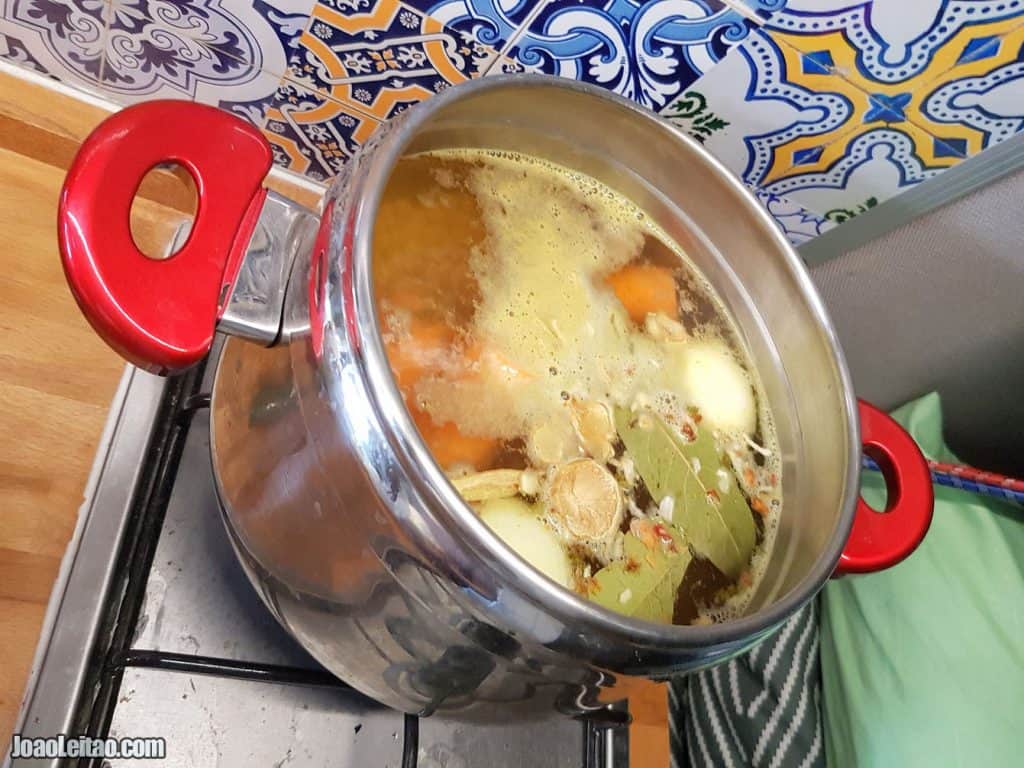
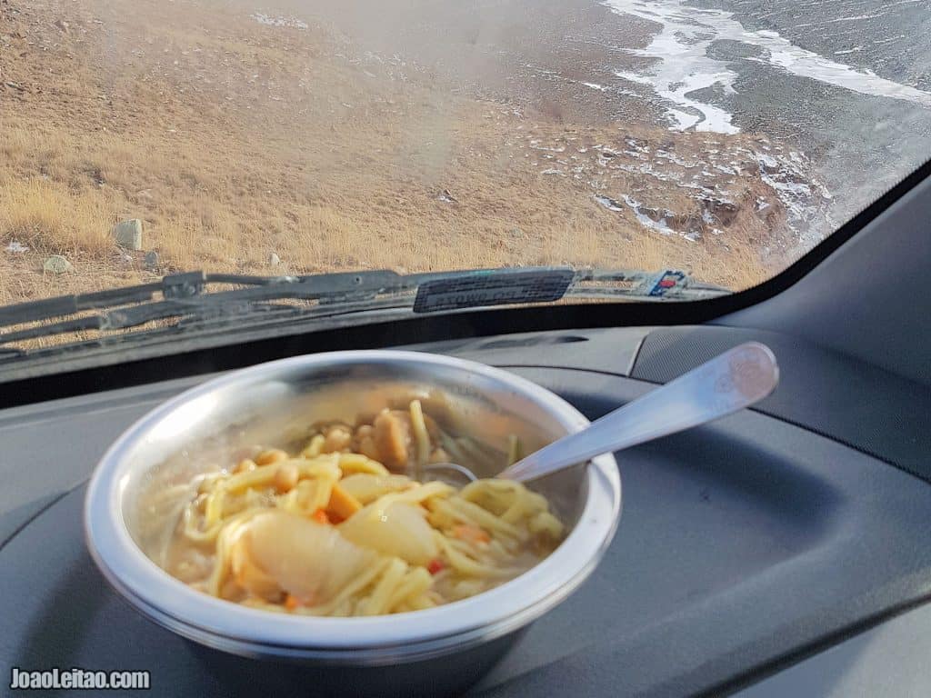
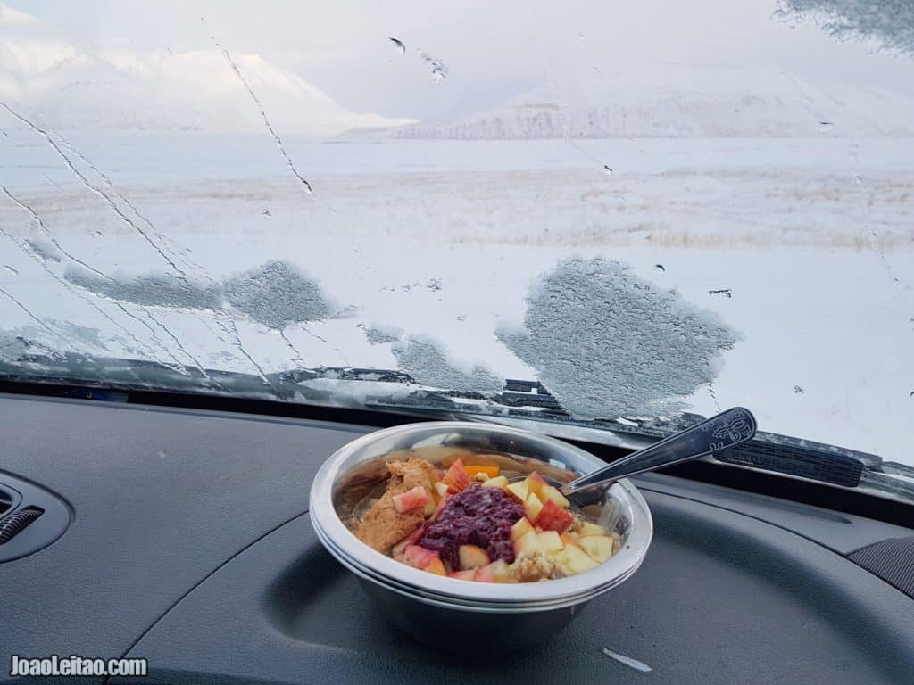
- Cook lunch
- Eat cookies
- Drink warm tea
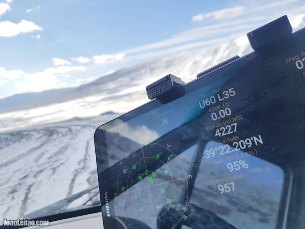
The altitude
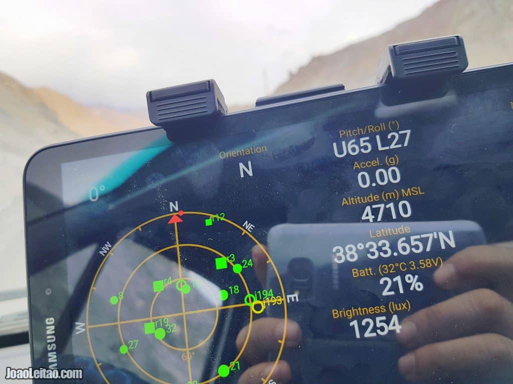
The altitude differences of the mountain road from Sary Tash to Murghab:
- Sary Tash 3,170 m to Dor-Doba KG checkpoint 3,450 m = 26 km
- Dor-Doba KG checkpoint to Kyzul Art Pass 4,318 m = 21 km
- Kyzyl Art Pass to KyzulArt TJ checkpoint 4,187 m = 1.6 km
- Kyzyl Art TJ border to Uy Bulak Pass 4,232m m = 21 km
- Uy Bulak Pass to Karakul village 3,922 m = 30 km
- Karakul village to Ak Baytal pass 4,710 m = 59 km
- Ak Baytal pass to Murghab 3,618 m = 74 km
Sary Tash to Murghab = 233 km
Timeline
11:56
Filling up the campervan 100-liter water tank and 20-liter jerricans with fresh spring water from the mountain.
17:09
Nice photo opportunity. My wife drove back down to 3,450 m near the Dor-Doba Kyrgyz border complex.
11:30
Entering Tajikistan and heading to Karakul village at 51 km distance. Driving down from Kyzyl Art Tajik border post to Uy Bulak Pass at 4,232m.
What to expect – Kyrgyz vs Tajik
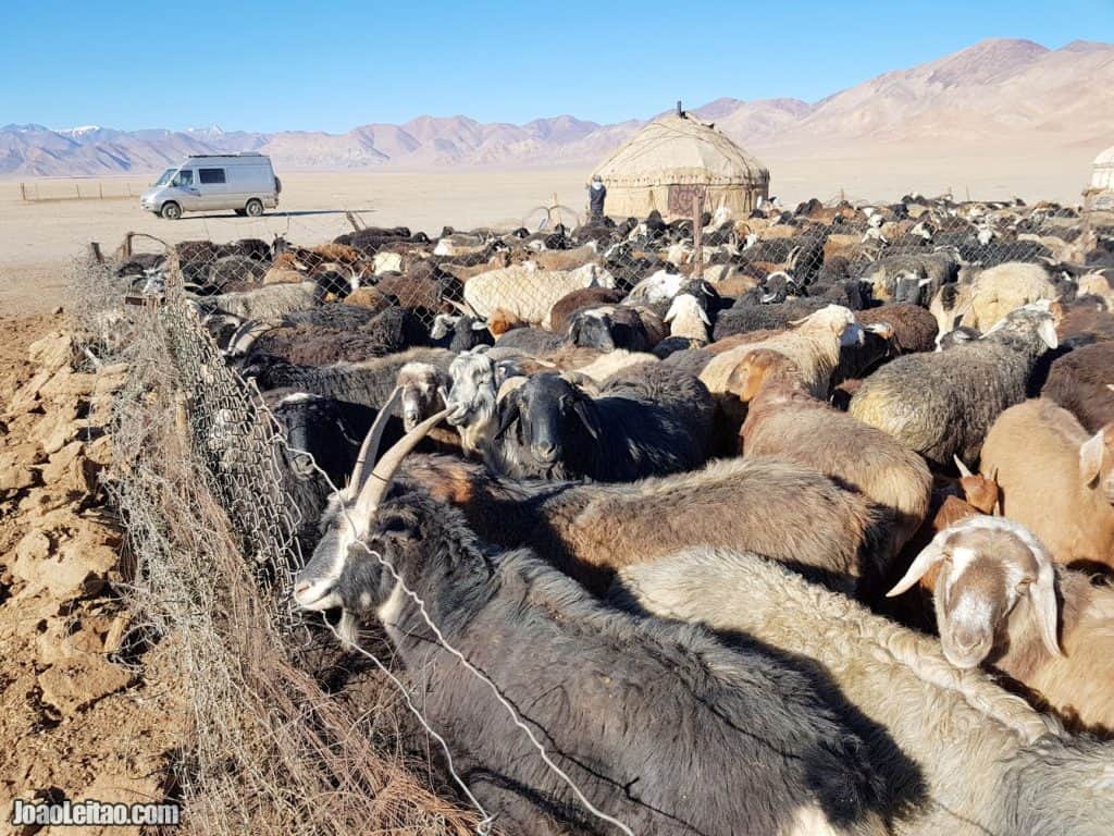
Dor-Doba KG checkpoint 3,450 m
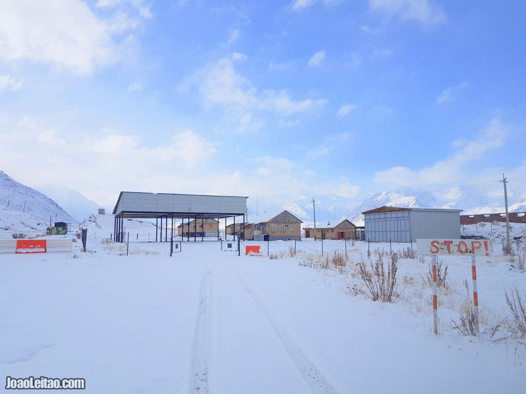
The Kyrgyz border is more developed than the Tajik counterpart. People are generally friendly. Vehicles have to pay a border tax to come in and out of the country. There is a price table on the wall.
The village before Kyzyl Art Pass
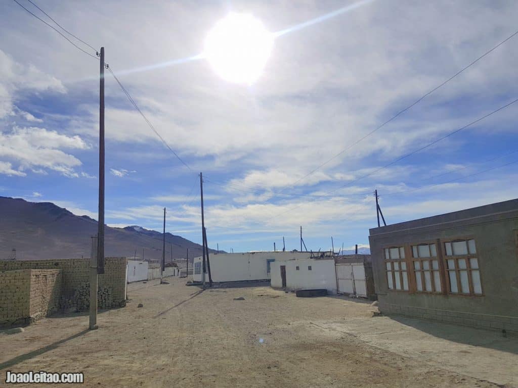
This almost abandoned village is the last Kyrgyz outpost before the actual physical border with Tajikistan. Some people actually live there year-round, and during the Summer months, you even have a guest house with available rooms.
Kyzyl Art Pass 4,318 m
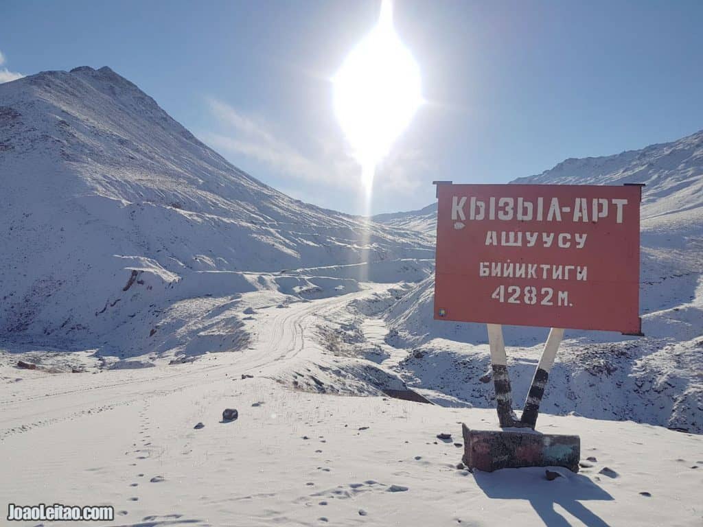
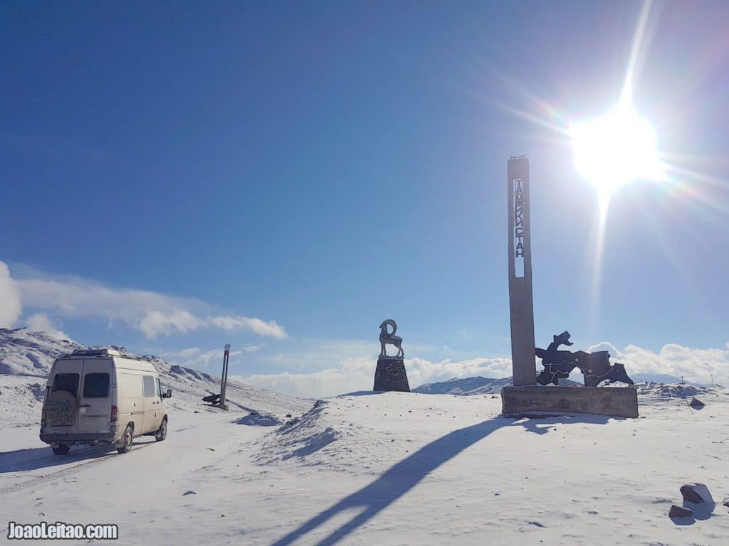
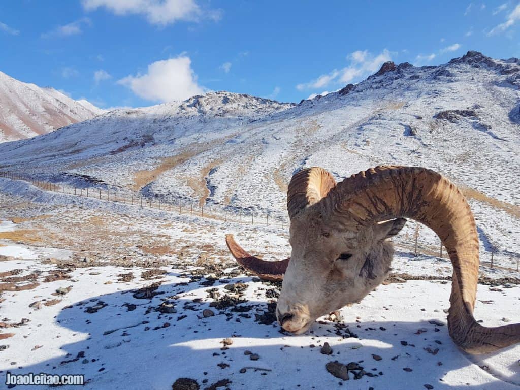
This epic place is somehow a goal for many adventure travelers. The place itself is not special, although there a statue of a goat and a sign reminding where we are. The surrounding mountain views are fabulous though.
KyzylArt TJ border control 4,187 m
The Tajik border is less developed than the Kyrgyz counterpart. People are much more friendly and welcoming also.
The previous day
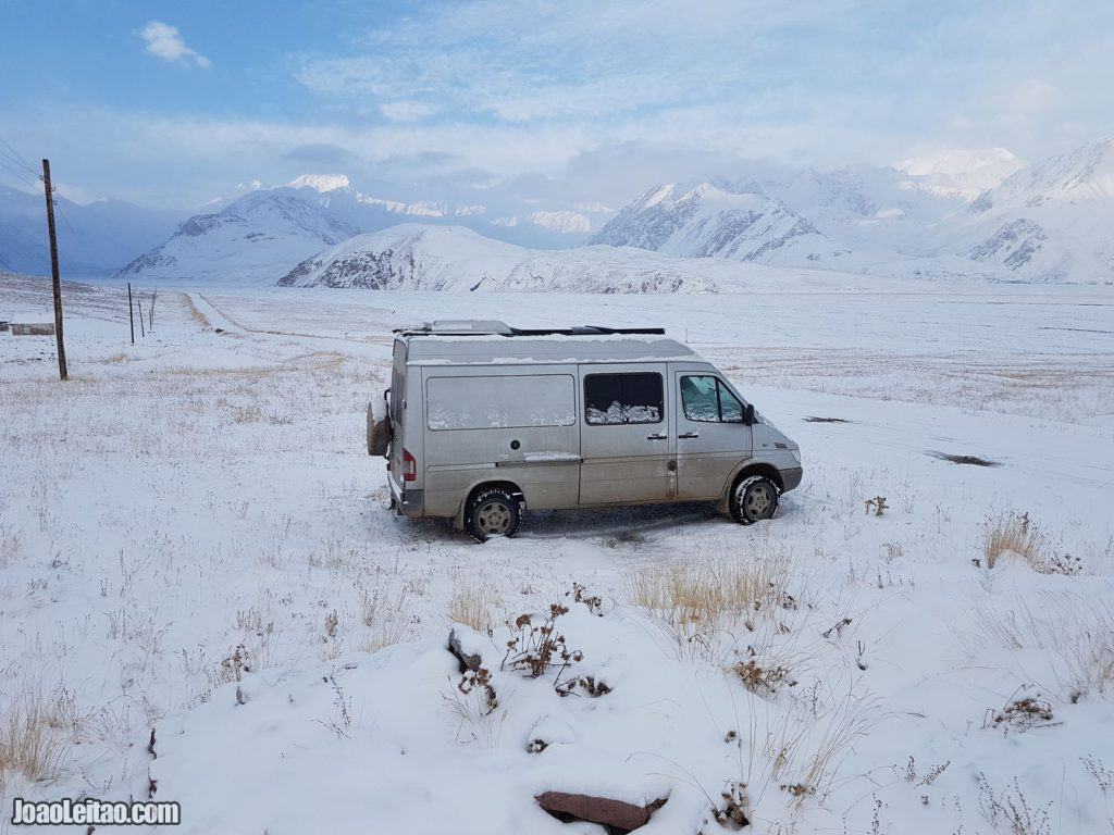
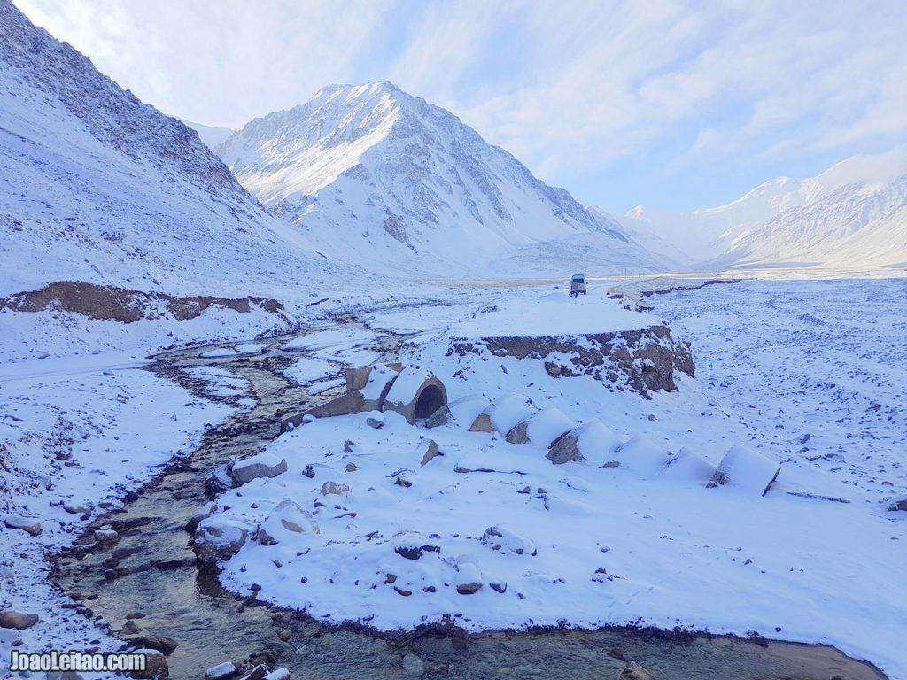
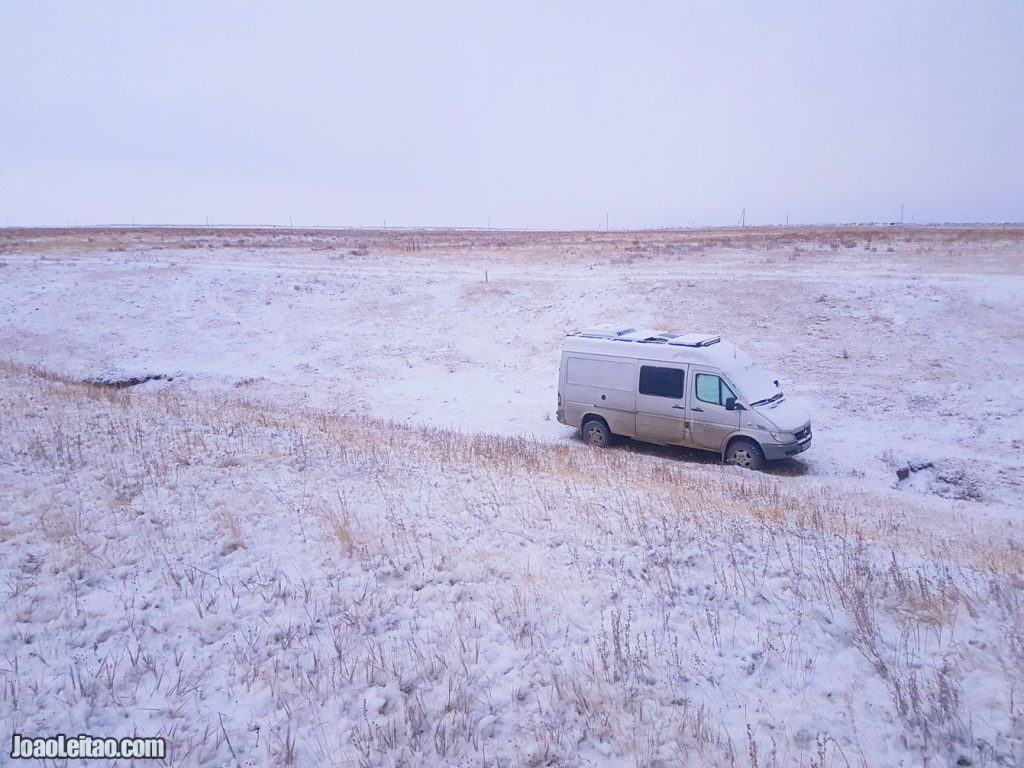
The day started rather cold. The previous afternoon, I parked inside a ditch to protect ourselves from the evening winds. We woke up with the car and surroundings covered in snow.
Driving to the border
After breakfast, we drove 12 km along the Kyzyl Art river all the way to the Kyrgyz border post. We got there around 11 am.
The Pamir Highway
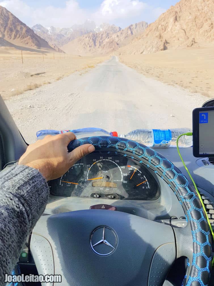
The famous road known as the M41 is a very inspiring challenge. The highway links Termez in Uzbekistan to Kara-Balta in Kyrgystan through Tajikistan. The 2,000-kilometer drive through the Pamir Mountain range has many dangerous sections, namely parts that recently suffered from earthquakes and landslides.
The Pamir Highway was built between the nineteenth and twentieth centuries in the Soviet era in order to link the various zones integrated into the Soviet Republic.
It is extremely not advisable to travel the Pamir Highway in times of severe rain or snow because even with good weather, you have to be very careful.
However, there are areas that are well paved, the road is always narrow and next to quite steep ravines. Mostly, the M41 is made of gravel and sand. This raw and breathtaking drive, despite its dangers (known as the road to hell), is open year-round. Check out my travel guide about the amazing places to visit in the Tajik Wakhan Corridor.
I was fortunate to drive the M41 in the Gorno-Badakhshan Autonomous Region section three times already. Two times back and forward in the Summer of 2012, and another time in the Winter of 2017.
Top 11 places to visit along the Pamir Highway:
- Village of Kalaikhum
- Fortress Hulbuk
- Botanical Gardens of Pamir (Khorog)
- Rock Art in Shakty Caves (Murgab)
- Ancient Shokh Shrine in Dara Valley
- Viewpoint to Afghan Village (Khalai Khum)
- Passage of Shuradab (Kulob)
- Lake Balun-Kul (Alichur)
- Pass of Ak-Baital (Karakul)
- Regional Museum (Khorog)
- Kyzyl Art Pass with 4282 meters

